Reggie & Renee.com
Roanoke River Stream Flow Data Near Scotland Neck, NC
Gauging station location and general information:
Latitude 36°12'33", Longitude 77°23'02" NAD83
Halifax County, North Carolina, Hydrologic Unit 03010107
Drainage area: 8,671 square miles
Datum of gage: 5.77 feet above sea level NGVD29.
Gauging station location and general information:
This station is operated in cooperation with the U.S.
Army Corps of Engineers and is managed by the Raleigh
Field Office.
Click here for up to date
water levels at the Hwy
258 bridge located 5 miles
north of Scotland Neck, NC
water levels at the Hwy
258 bridge located 5 miles
north of Scotland Neck, NC
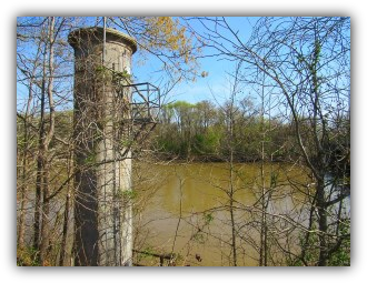
Gauging Station at Hwy 258
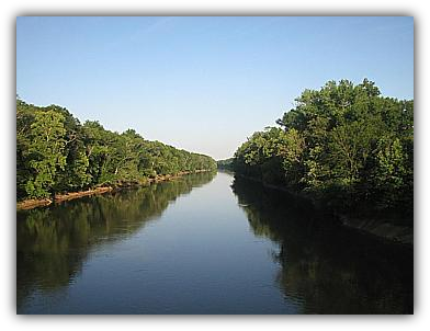
Area photo
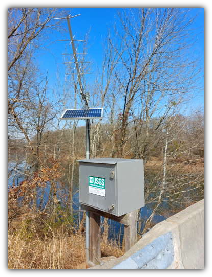
Data transmitter


